Hello everyone. How are you doing?
The Aso region also entered the rainy season on June 8, almost right on schedule this year.
In Japan, the rainy season (known as tsuyu) is caused by rain clouds forming due to updrafts where cold air from the north and warm, moist air from the south collide. When the rainy season ends and summer arrives, it means the warm, moist air from the south has prevailed and now covers the Japanese islands—this is why summers in Japan become so hot and humid.
Nowadays, thanks to the advancement of rain cloud radar and similar technologies, it has become easier to predict when and where it will rain. However, in the event that heavy rainfall is expected—enough to issue warnings—it’s important to understand what specific dangers exist where you are and to take appropriate action.
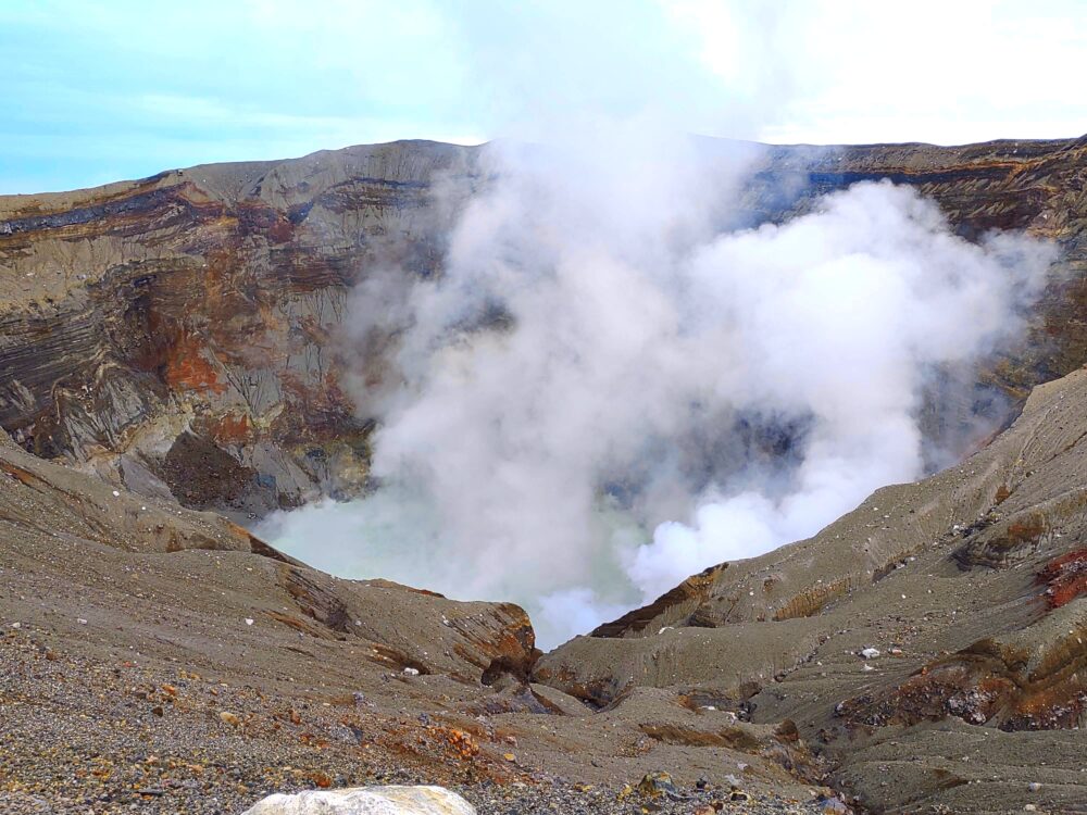
In recent years, the Aso region has experienced significant natural events. For example, in 2012, heavy rains caused major flood damage. Then, in 2016, the Kumamoto Earthquake occurred. As for eruptions of Mt. Aso’s Nakadake crater, forecasts have improved, and entry restrictions around the crater have been enforced based on eruption alert levels, which prevented any casualties. Still, eruptions that affected areas up to 1 km from the crater occurred in both 2016 and 2021.
We who live in Aso show respect for the power of nature, do our best in disaster preparedness, and at the same time, live while benefiting from nature’s gifts.
The other day, my husband, who took part in a local cleanup activity, brought home a hazard map booklet like this. While hazard maps have been available before, this particular booklet was newly published in March this year.
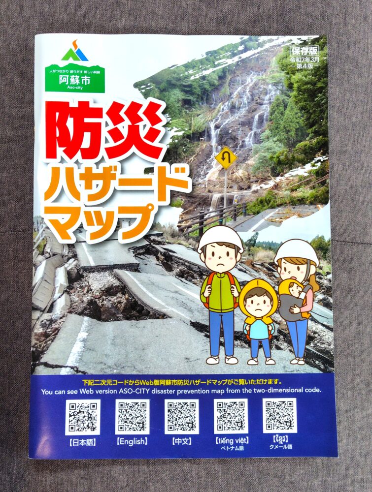
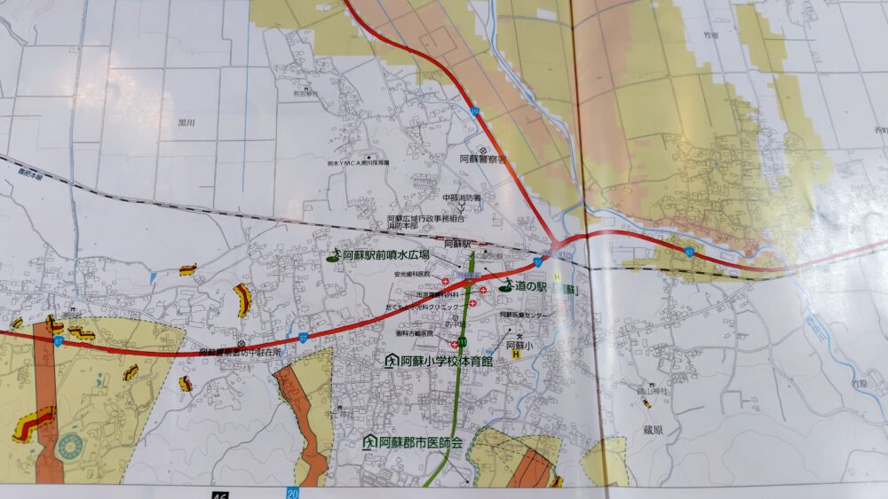
It covers the risks of earthquakes, eruptions, floods, and landslides, and includes designated evacuation locations.
It has a solid 80 pages, it’s large and easy to read, but of course, you can’t carry around all the time—and some people may think it’s useless if it’s all in Japanese….
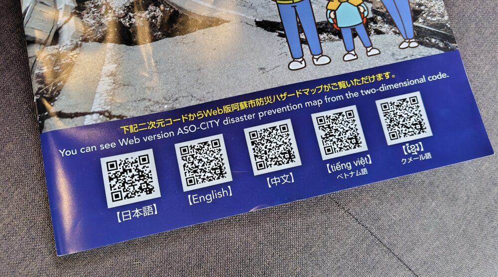
Take a look at the cover here.
You’ll see it can be viewed in several languages.
(You can access from here, too.
防災ハザードマップ – 阿蘇市ホームページ)
Let’s try switching to the English page.
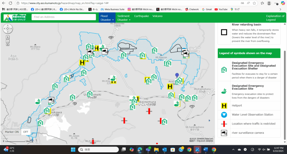
At the top, you can switch between flood, and landslide (sediment), earthquake, and volcano information.
It was also accessible by smartphone.
While we hope nothing happens, being able to access this kind of information in case of emergency is extremely important.
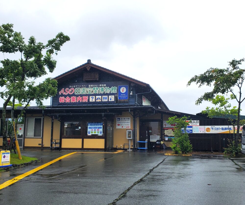
The information I’ve shared so far is from Aso City, but similar posters are also displayed in front of the tourist information center.
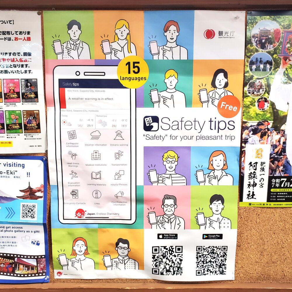
They advertise an app issued by the Japan Tourism Agency.
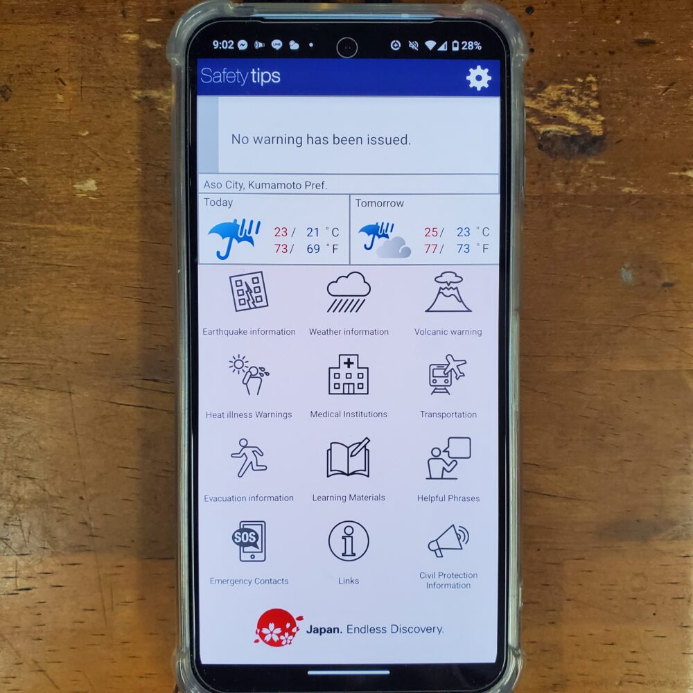
I also tried, and the rain is hard but there is no warning issued in Aso, today 🙂
Not just during the rainy season, but year-round, we hope that overseas tourists traveling in Japan will make use of these disaster-preparedness apps to enjoy a safe and worry-free trip!!
Kana